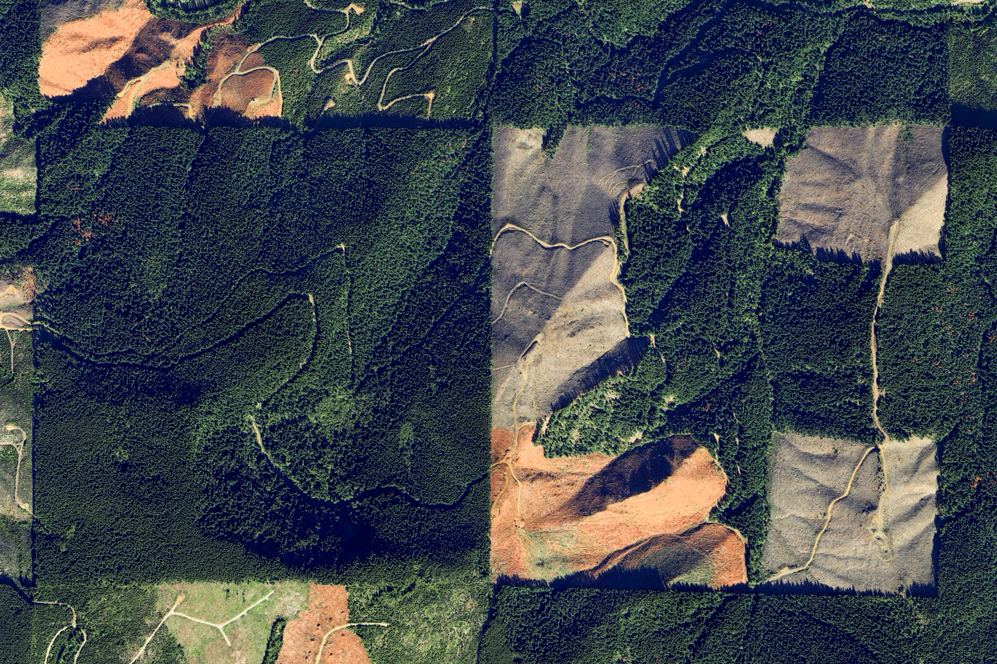
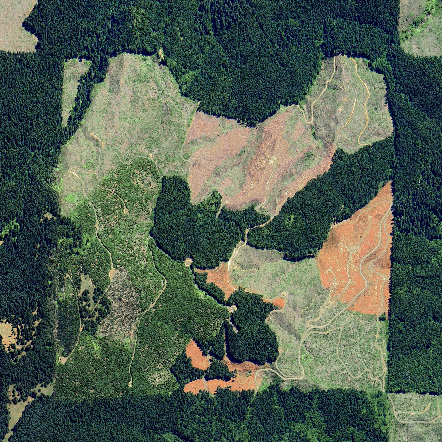
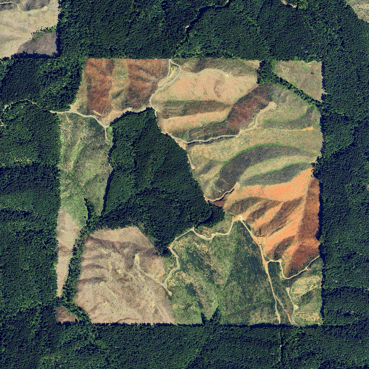
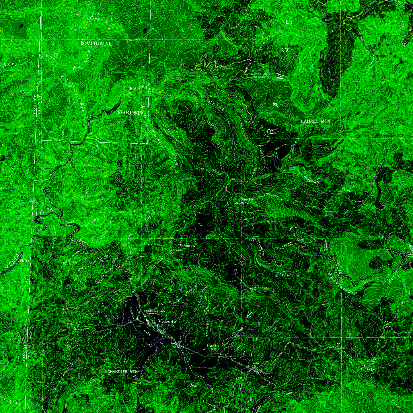
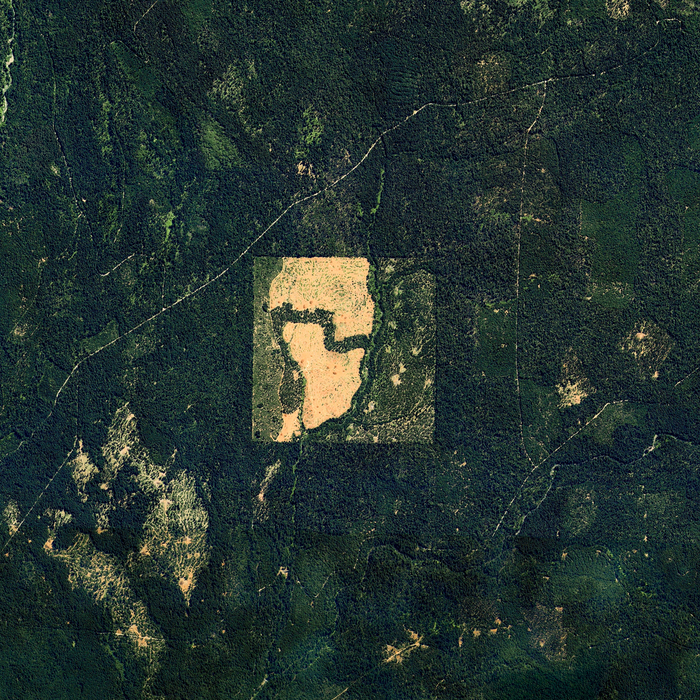
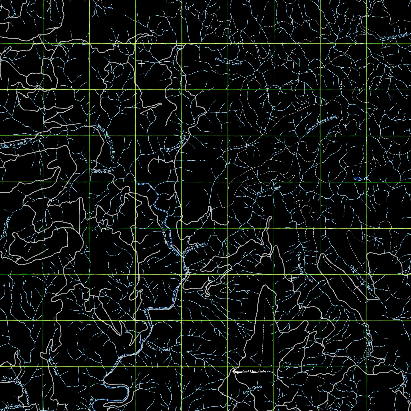
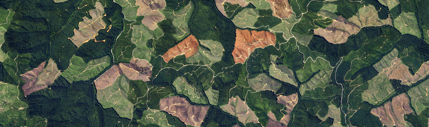

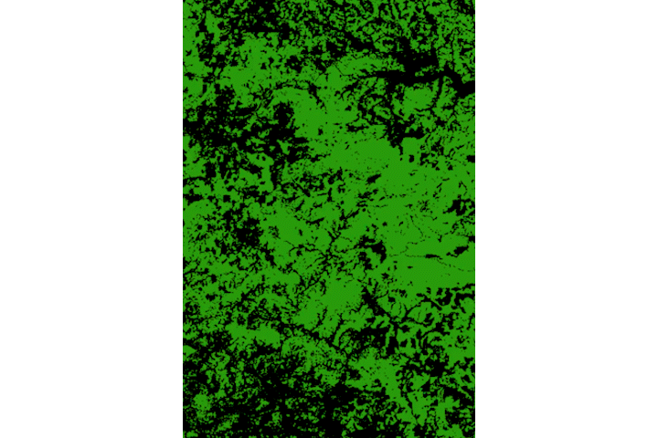
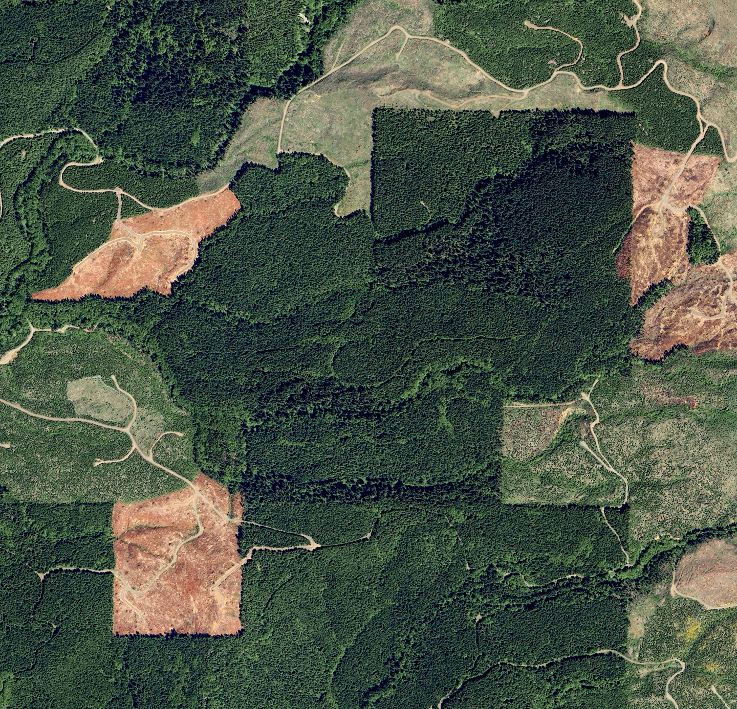
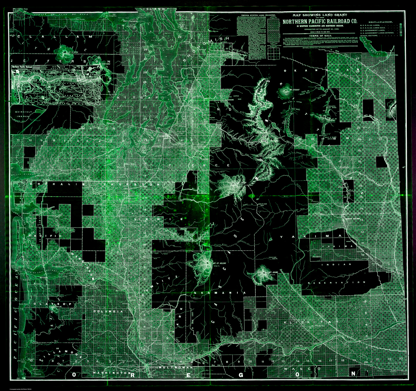
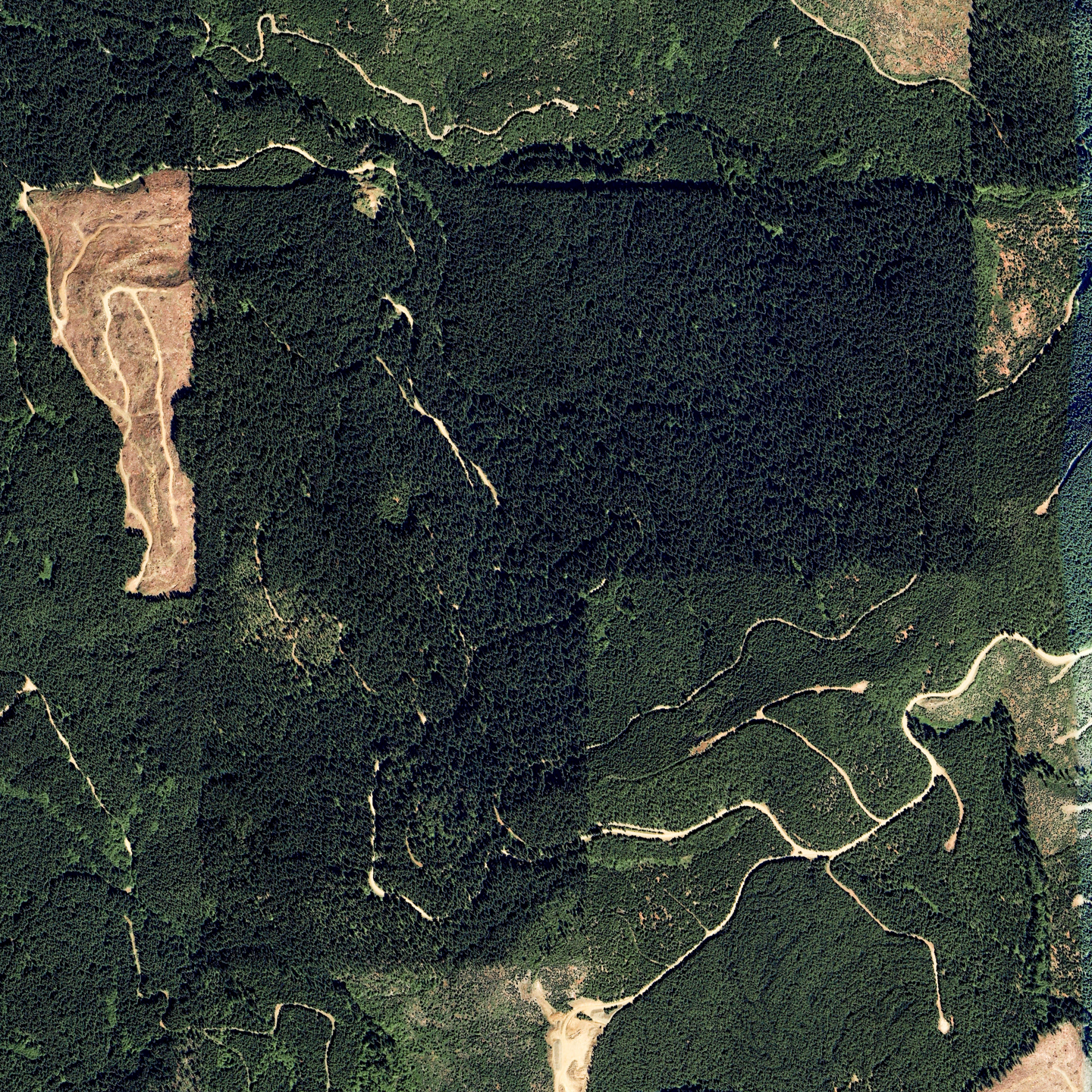
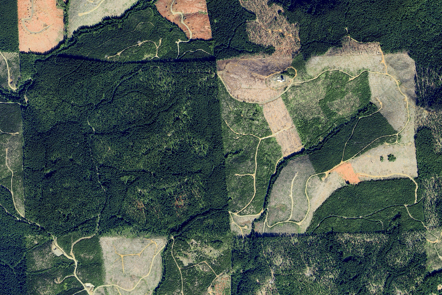
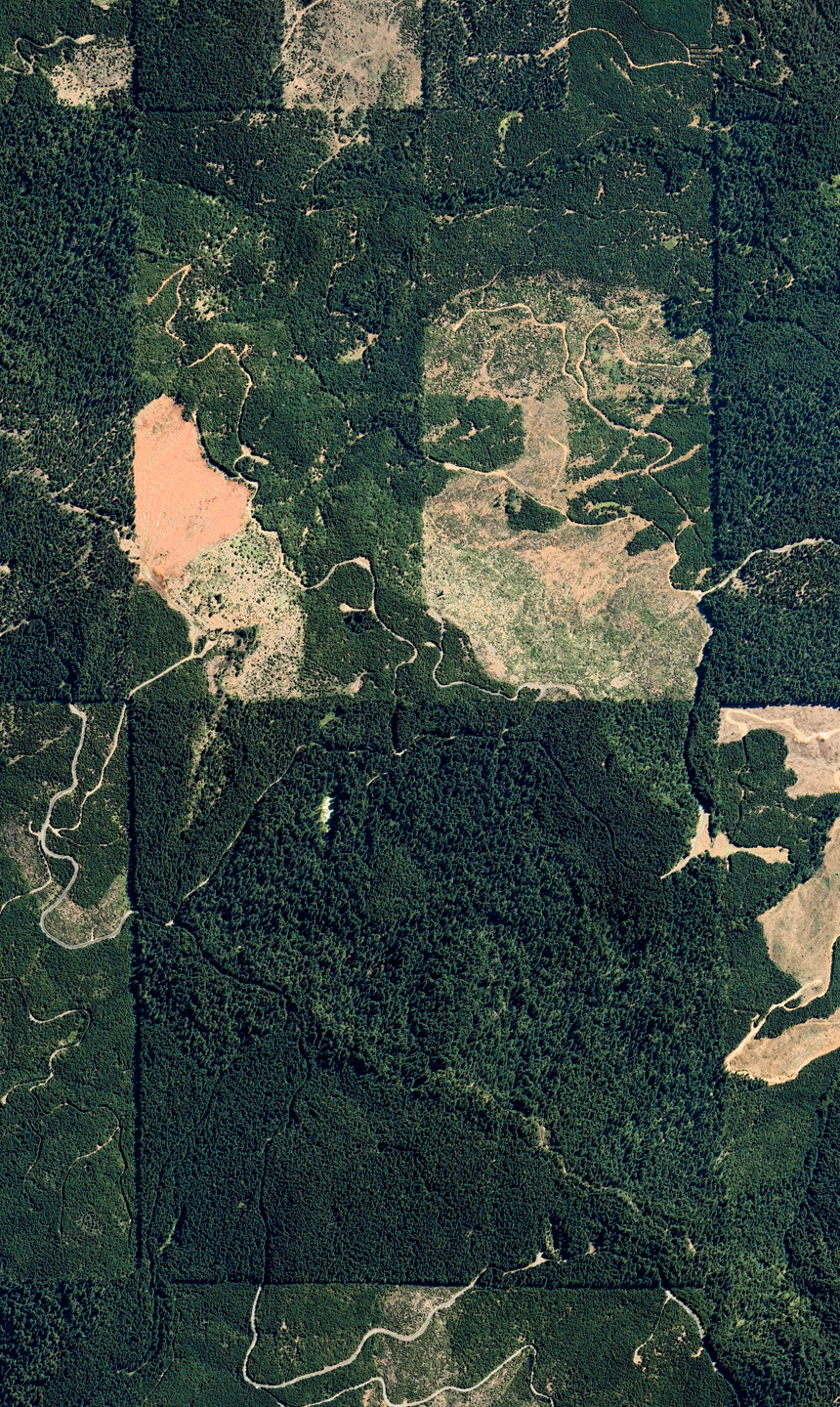
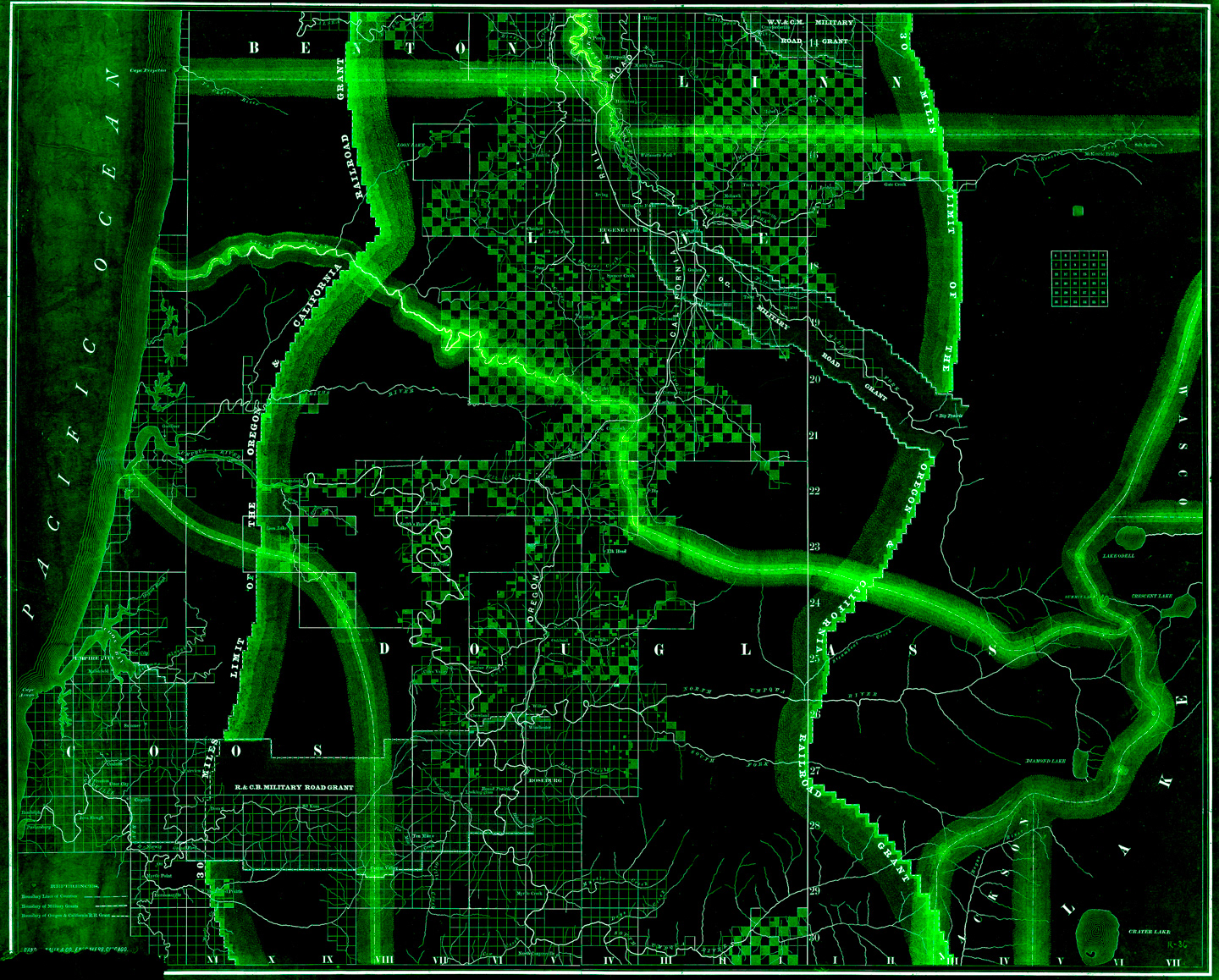
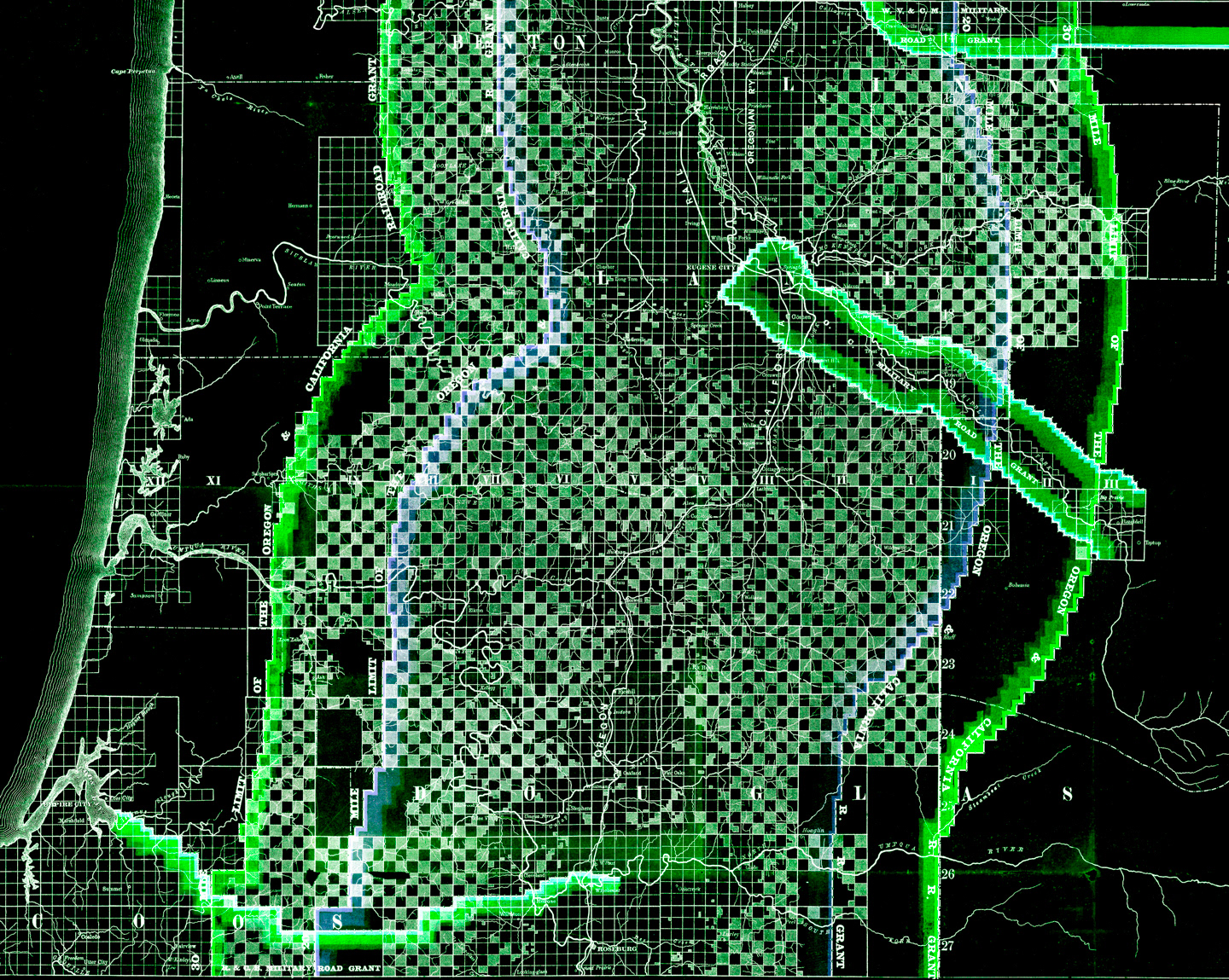
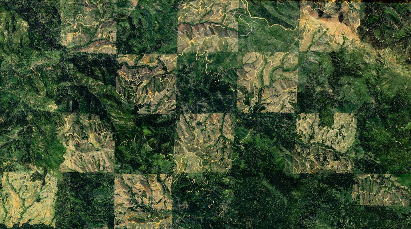
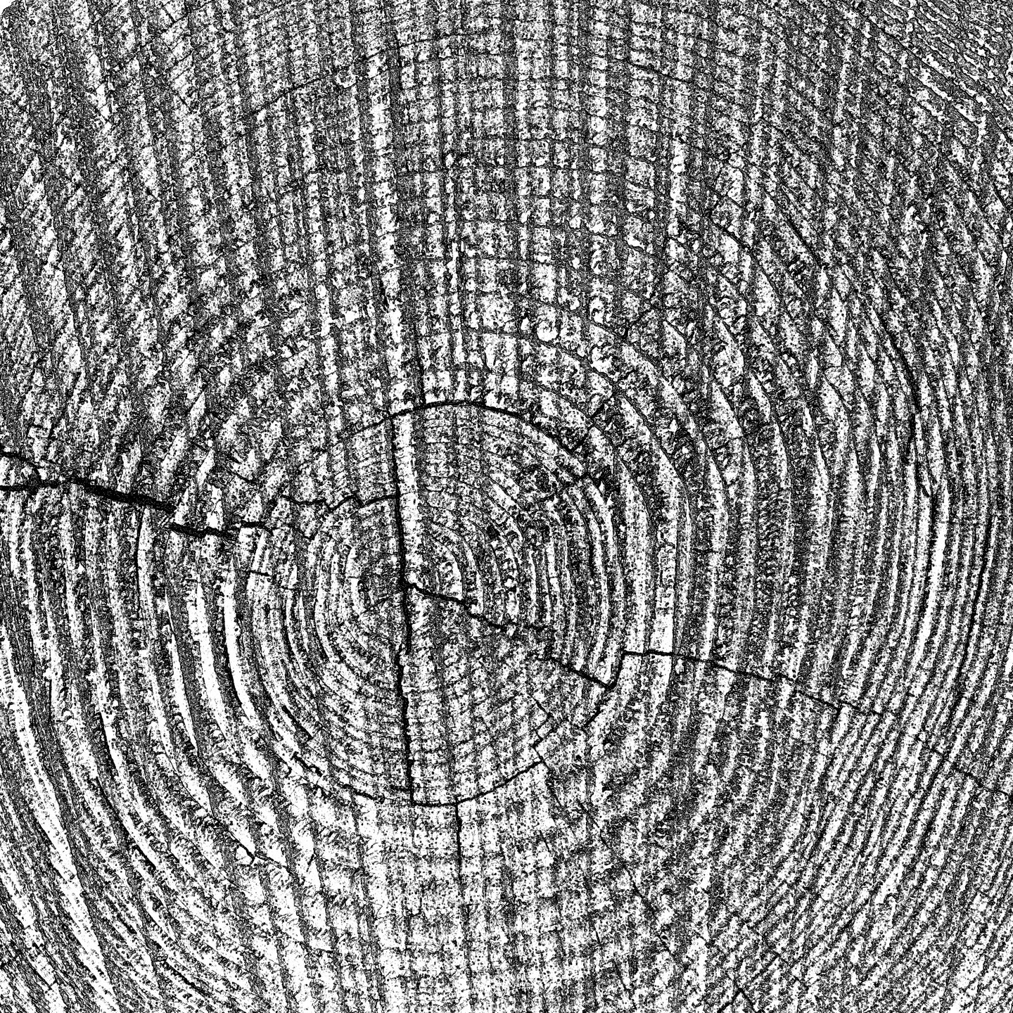
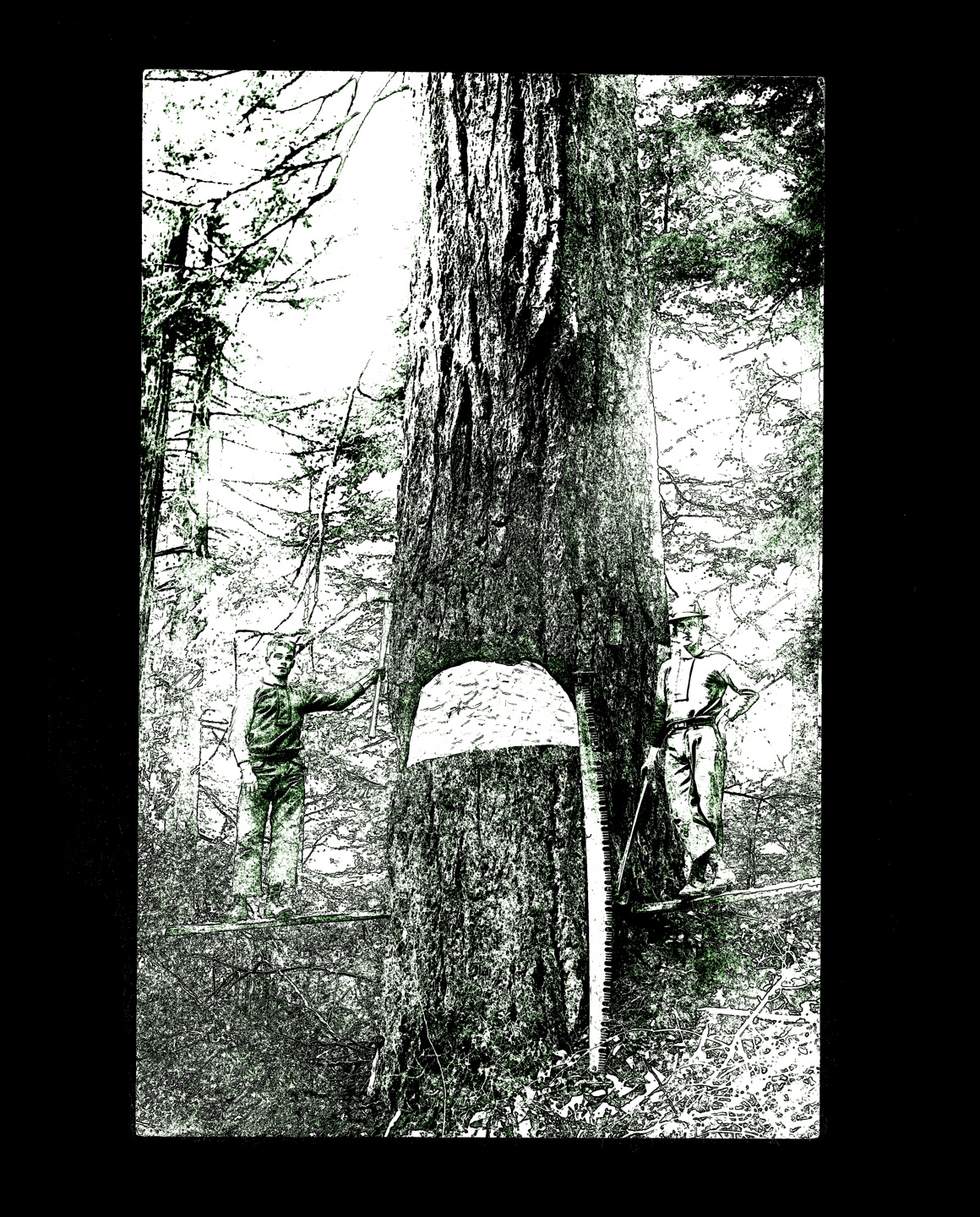
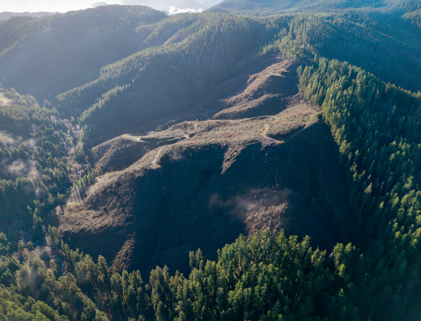
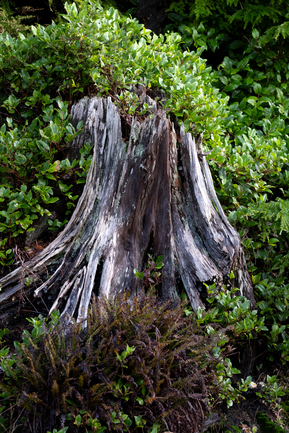
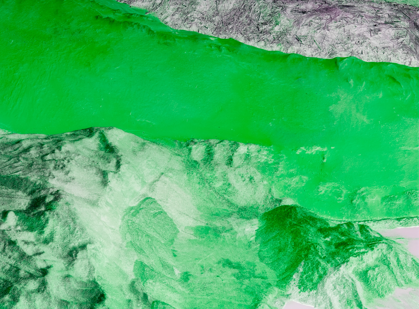
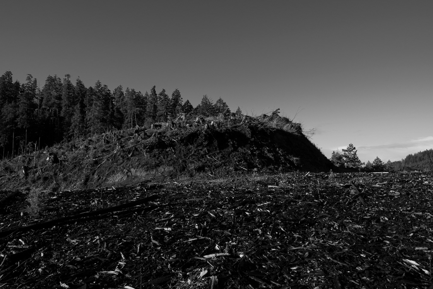
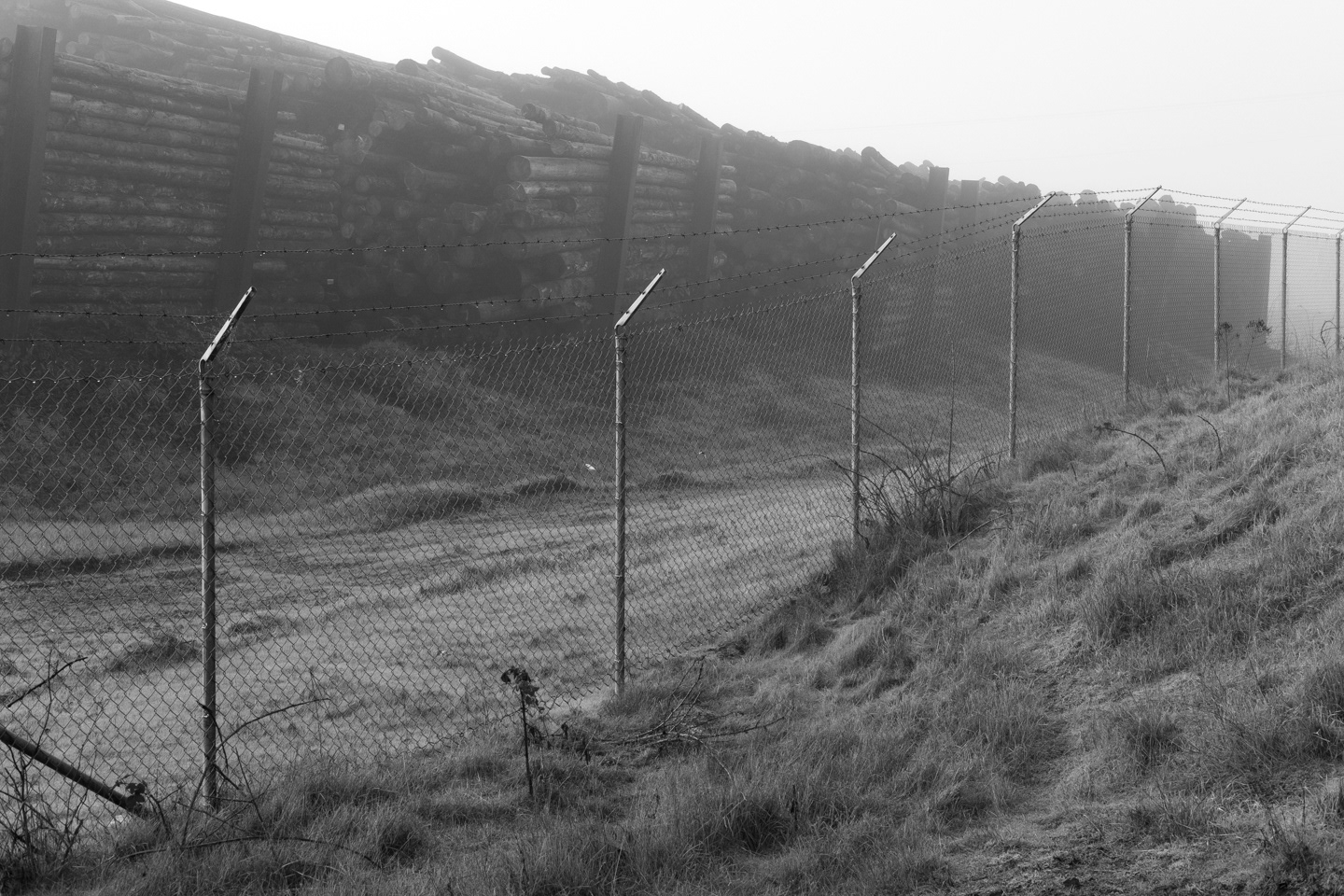
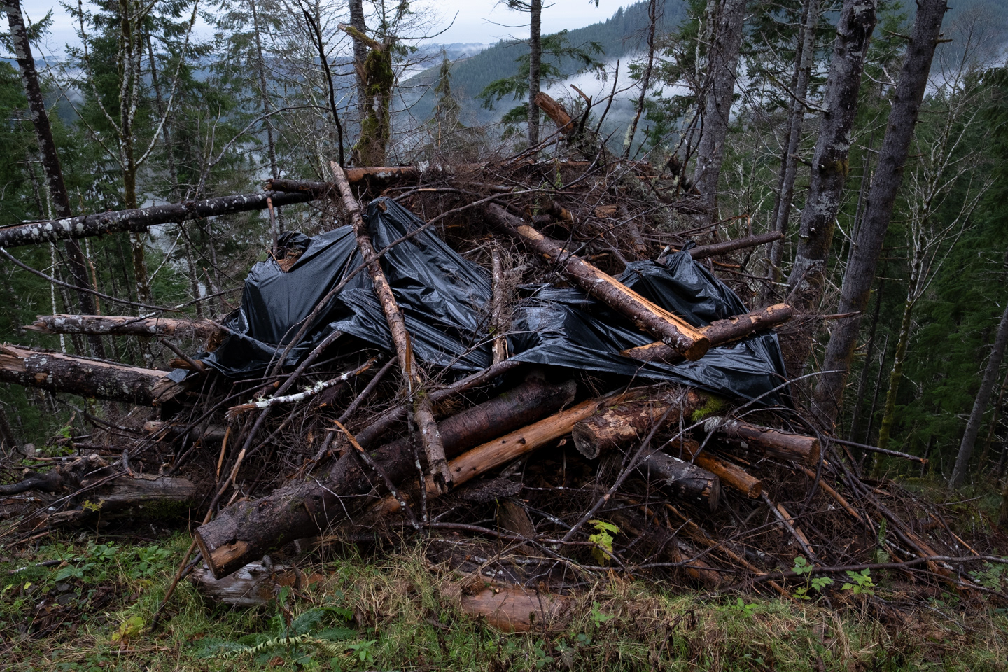
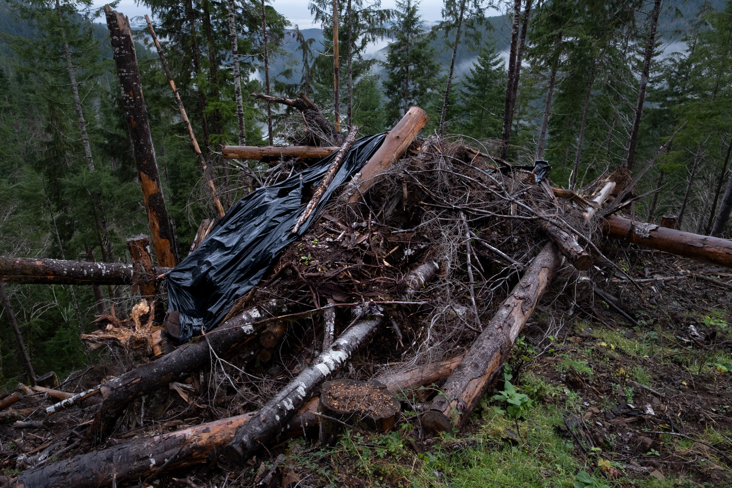
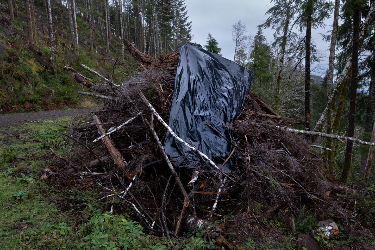
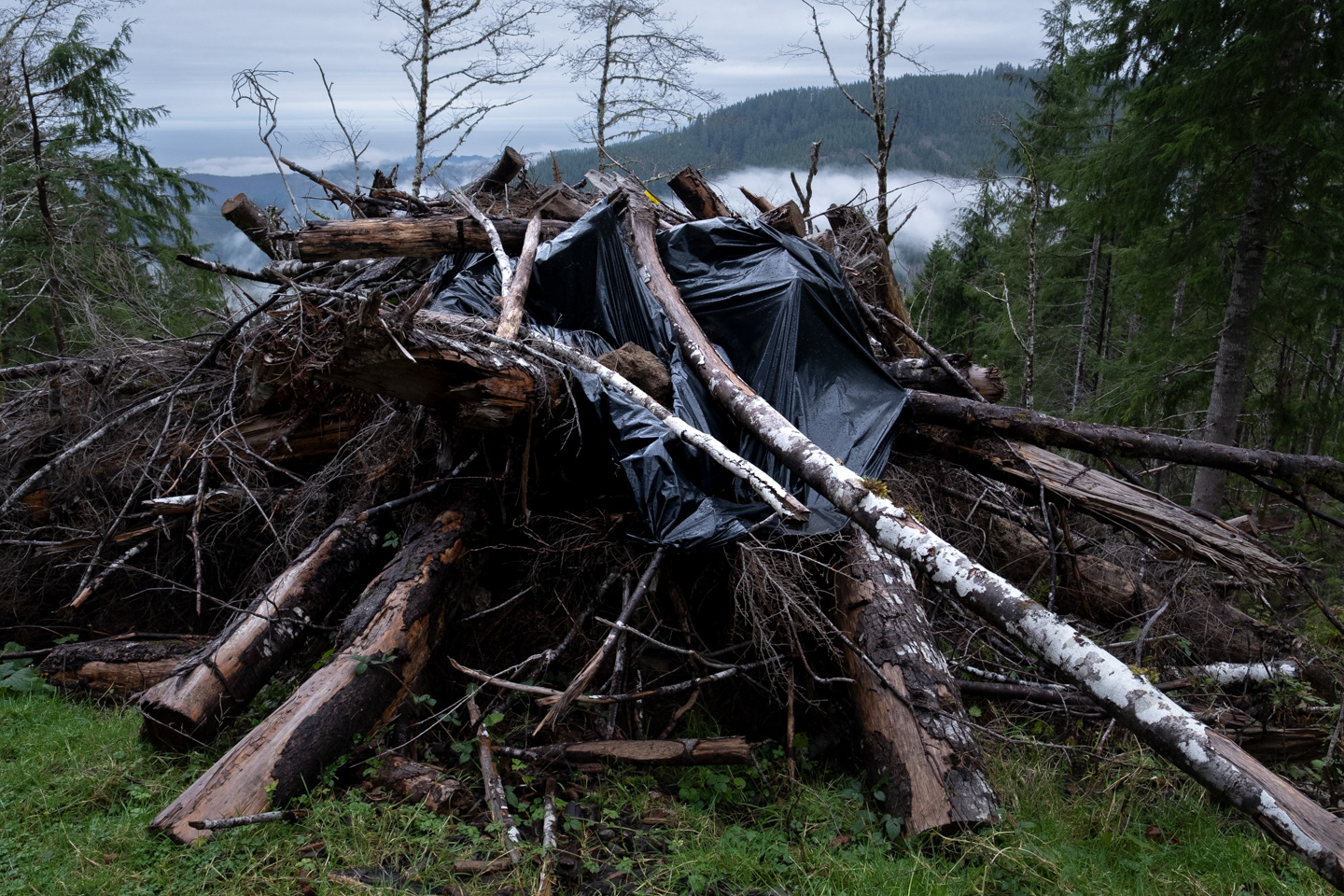
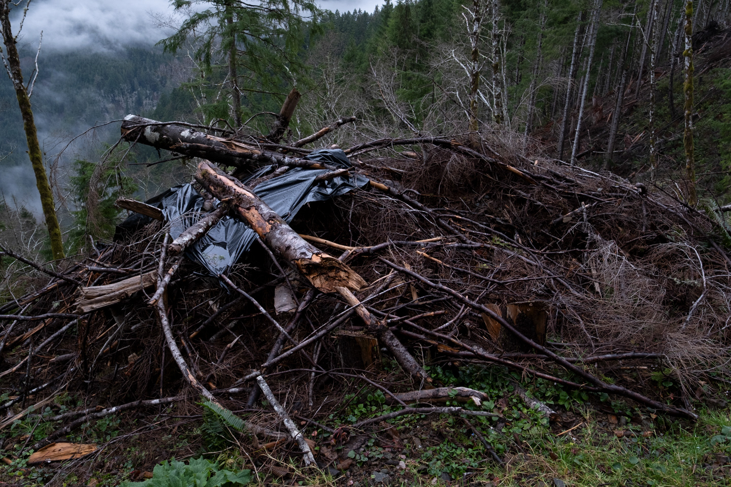
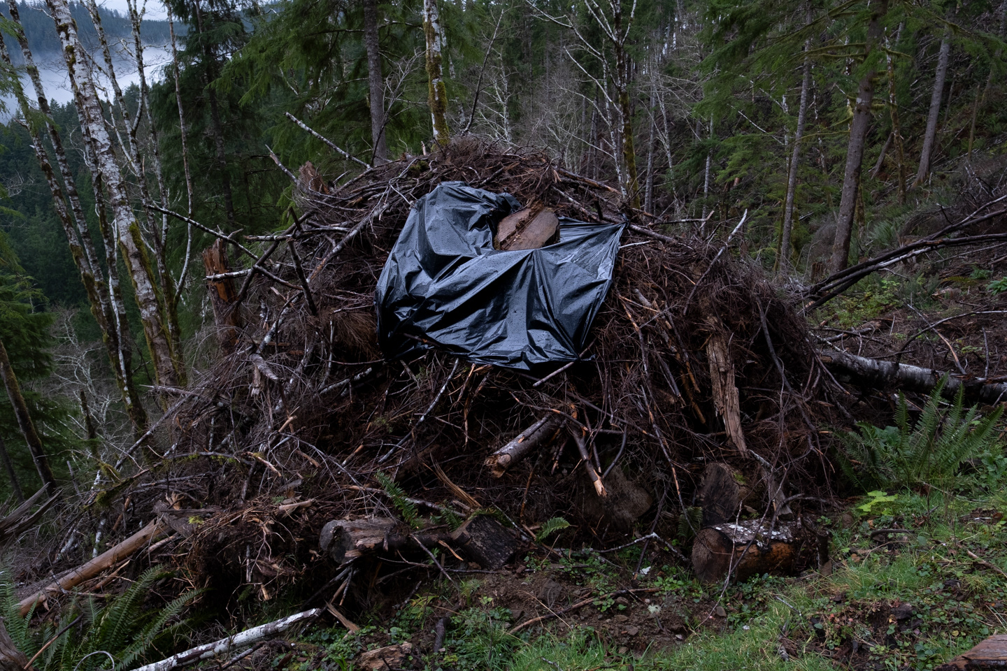
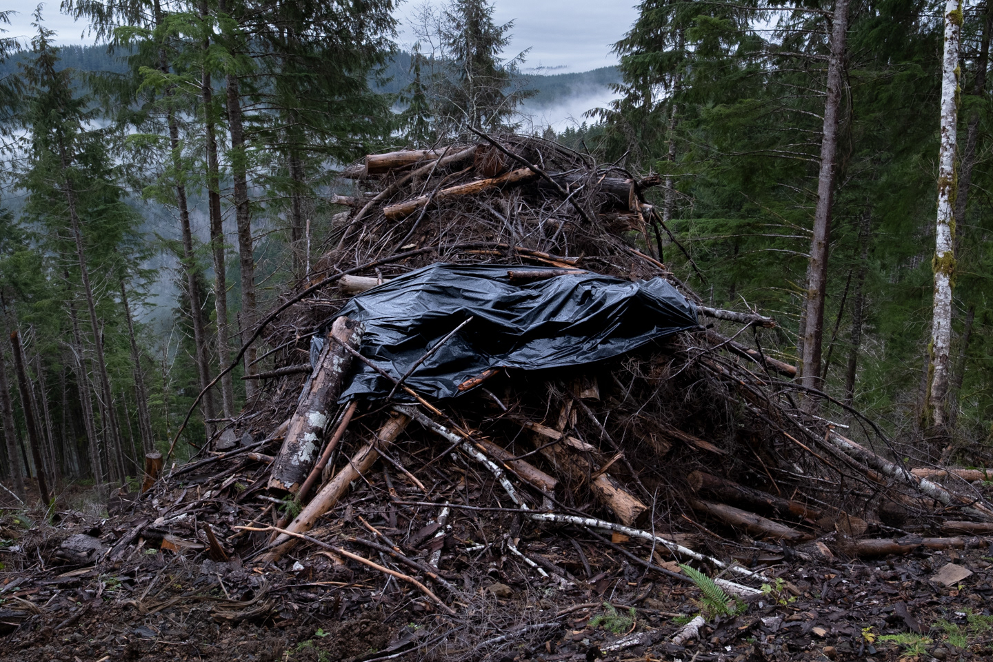
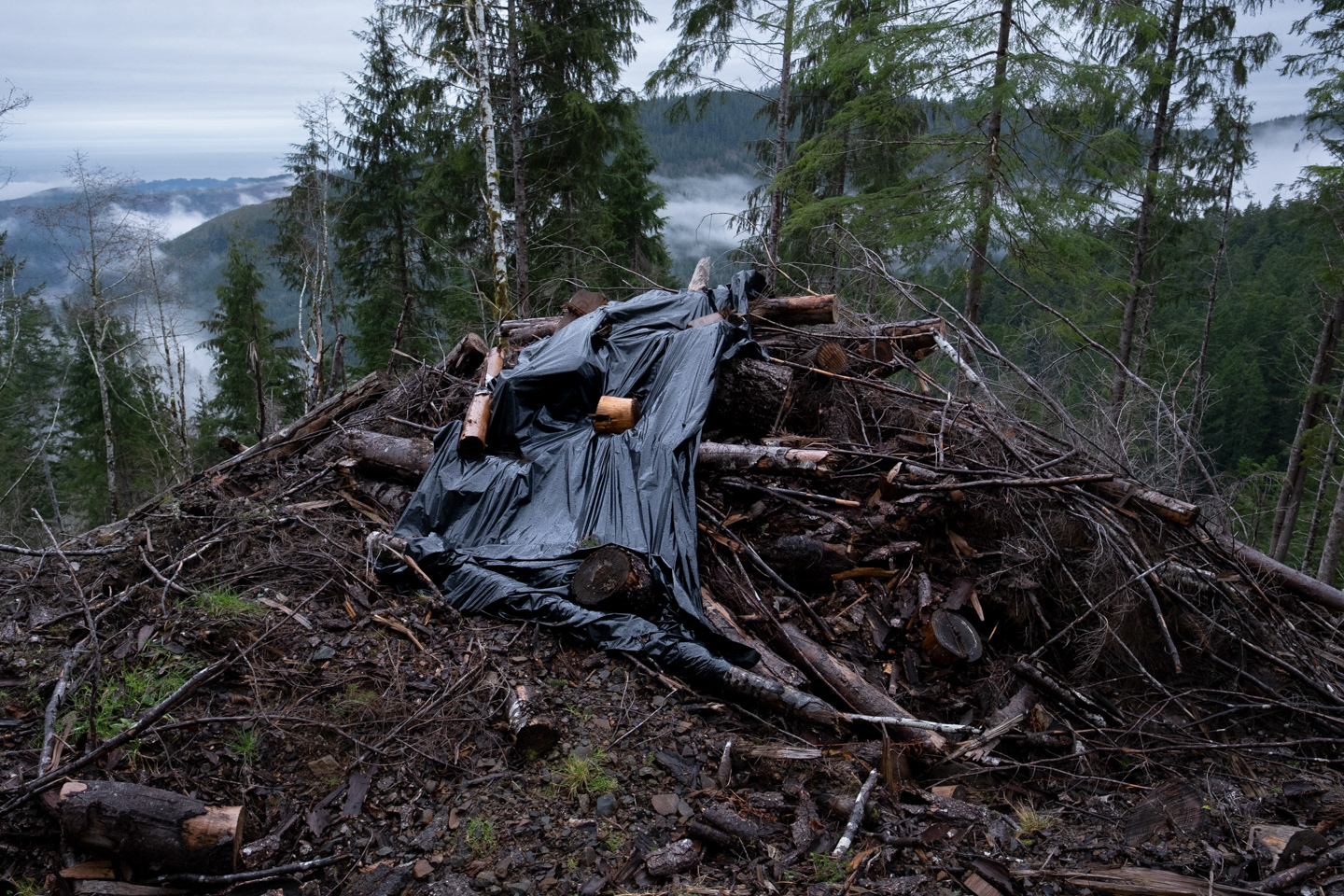
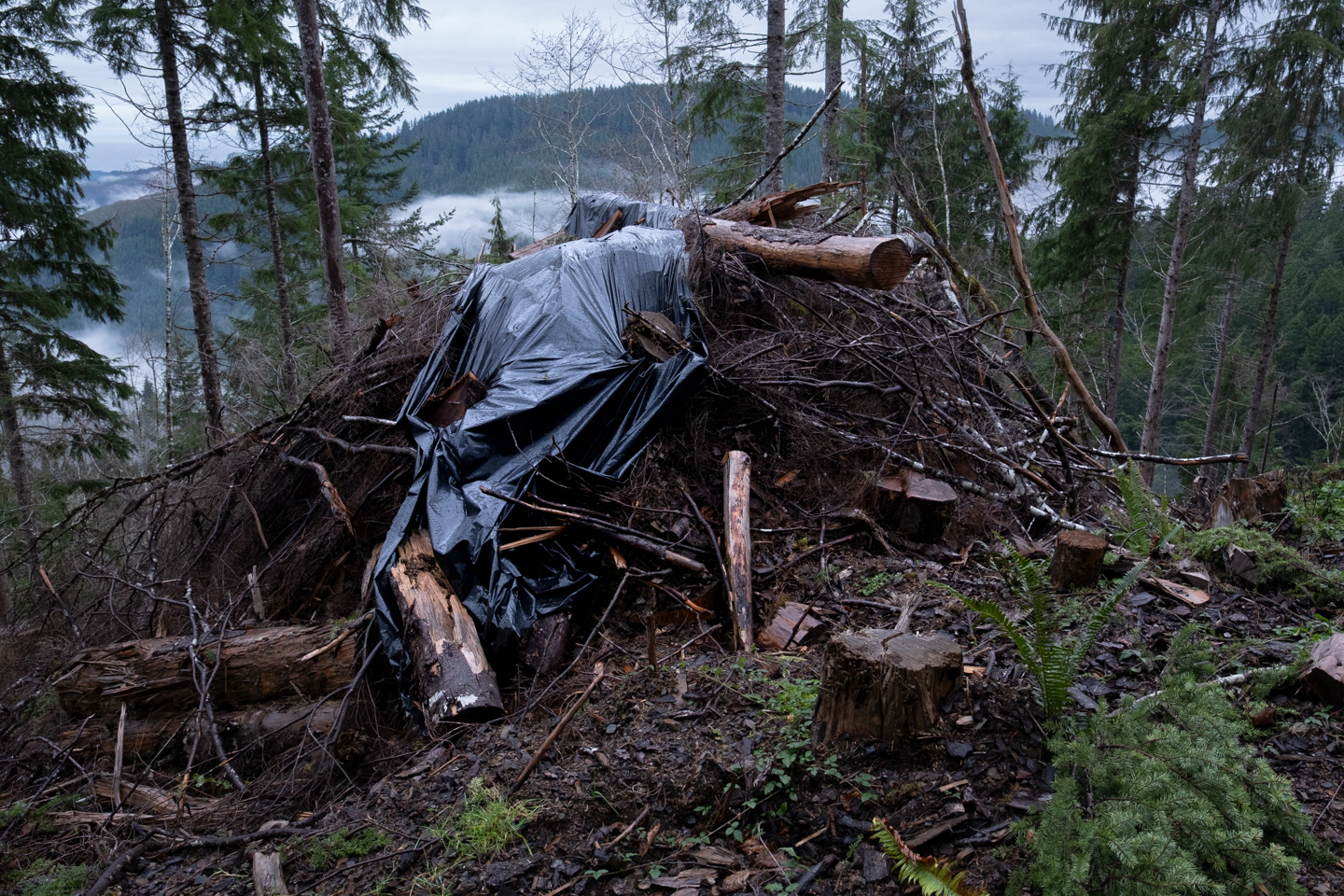
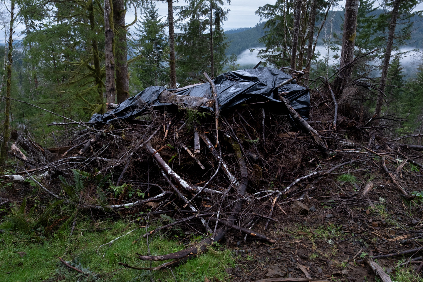
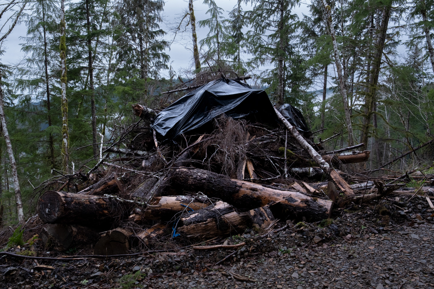
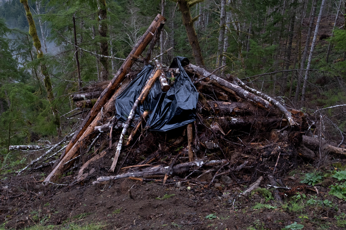
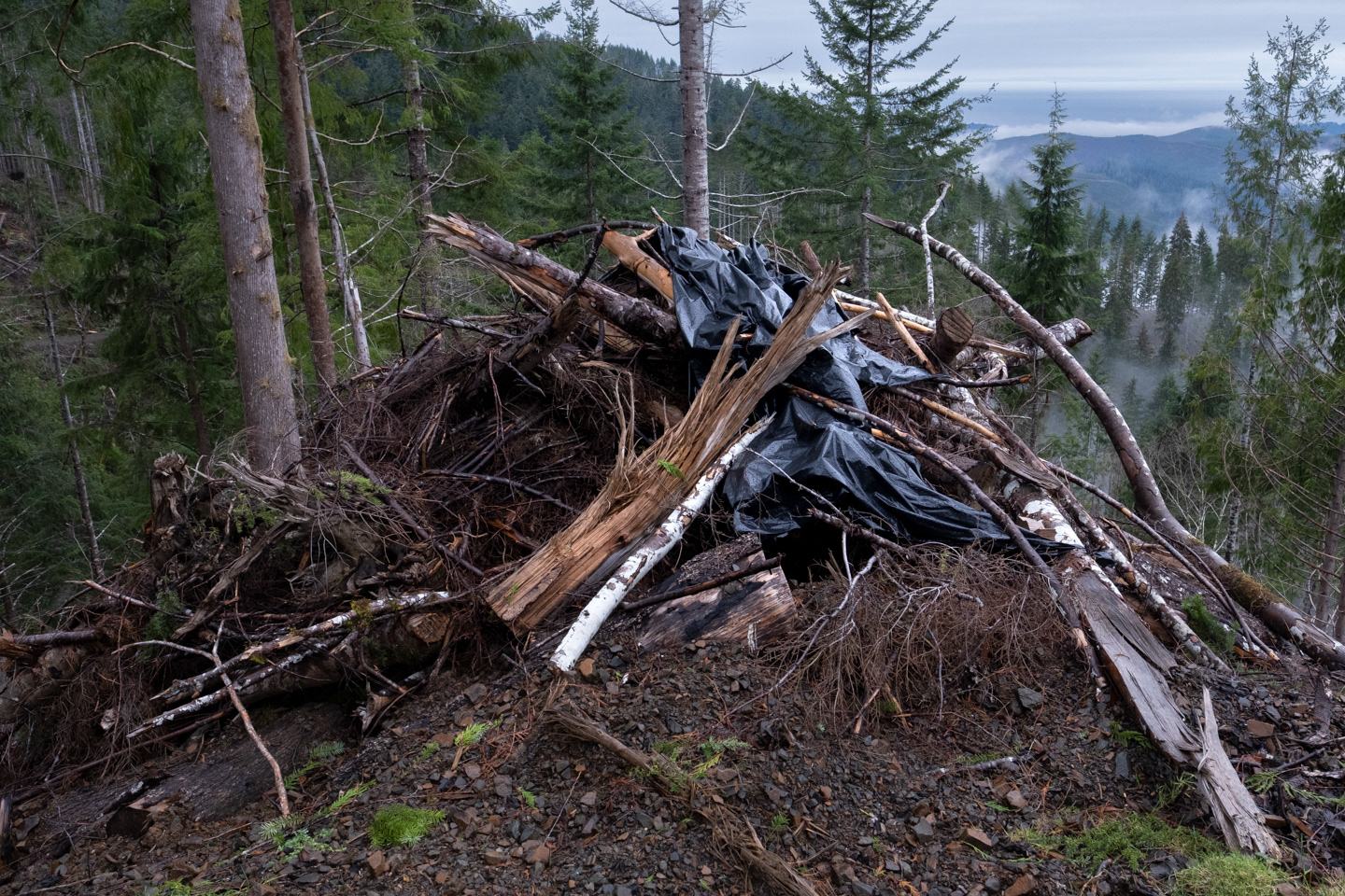
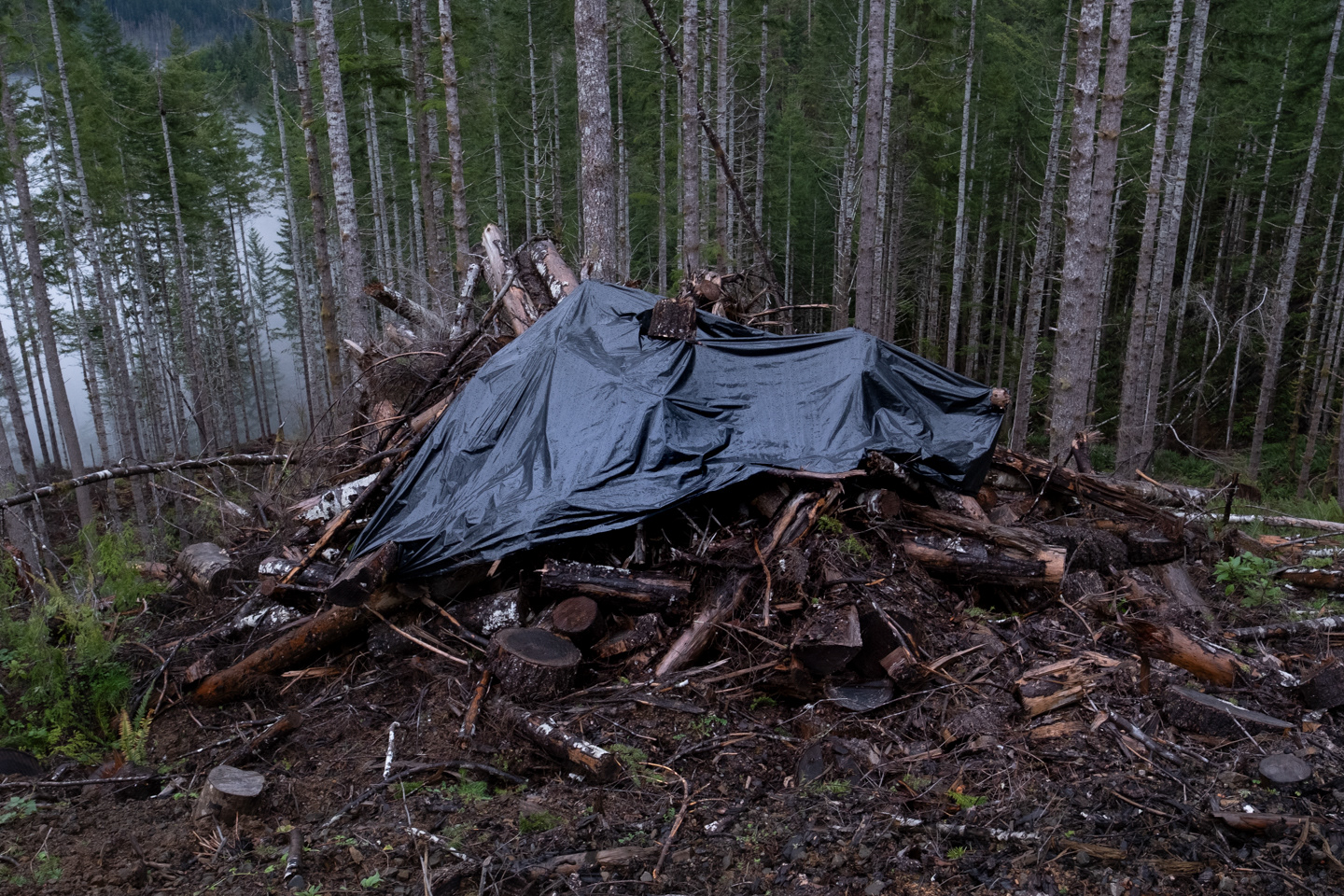
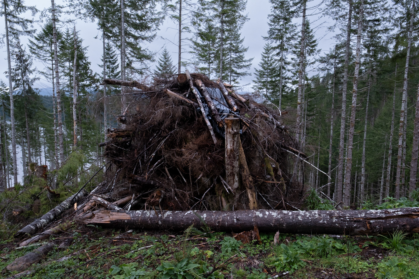
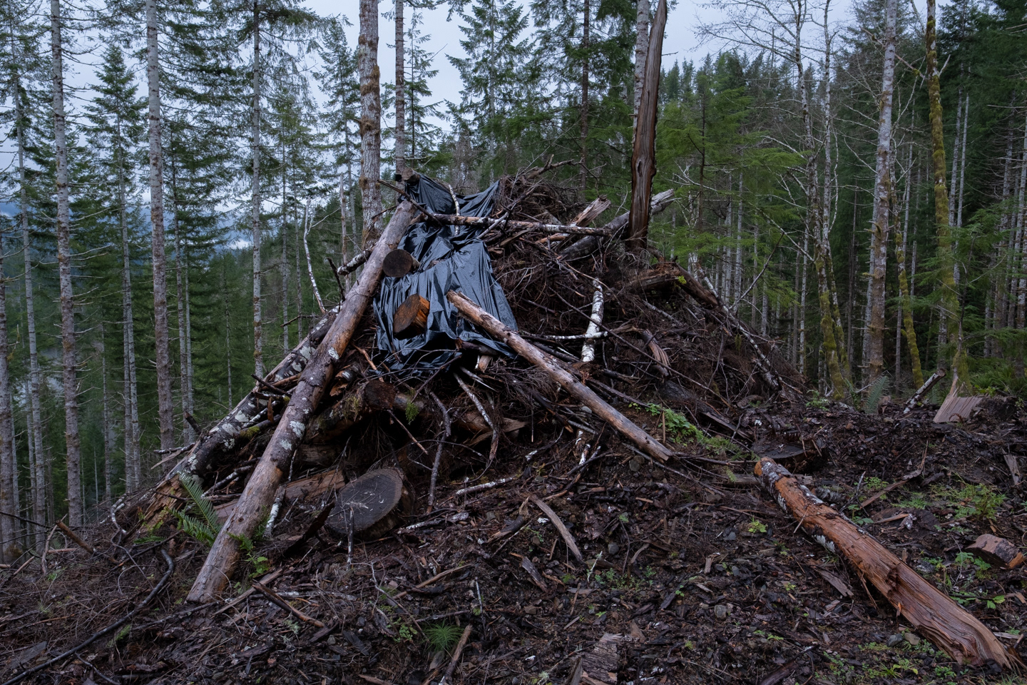
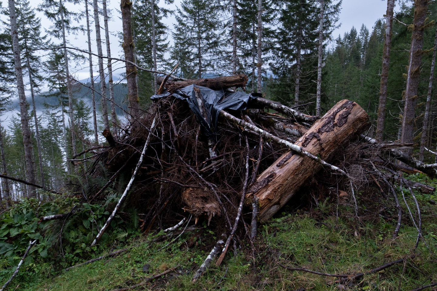
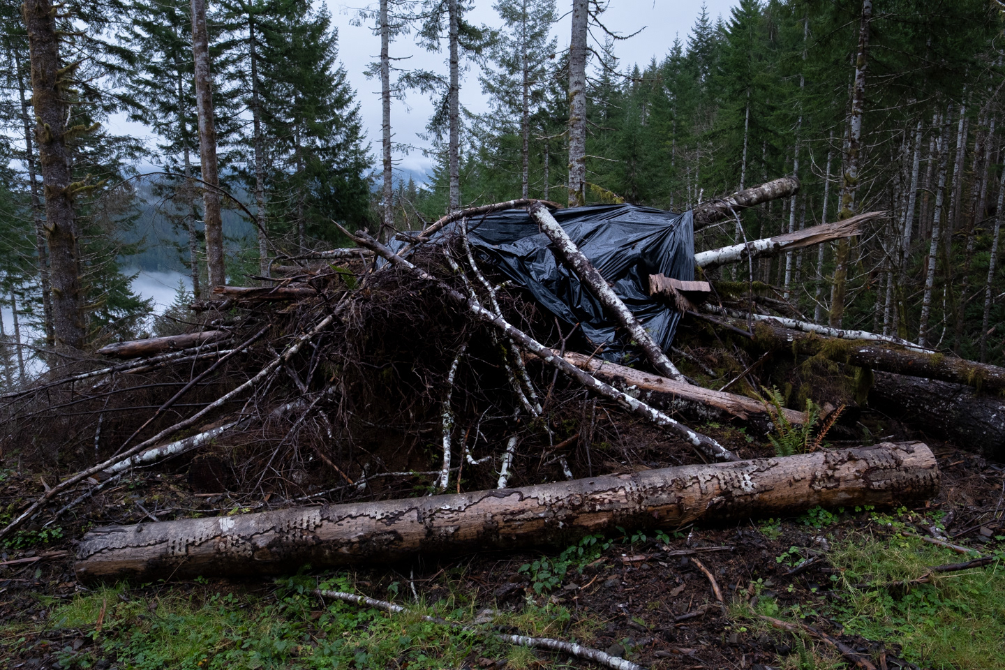
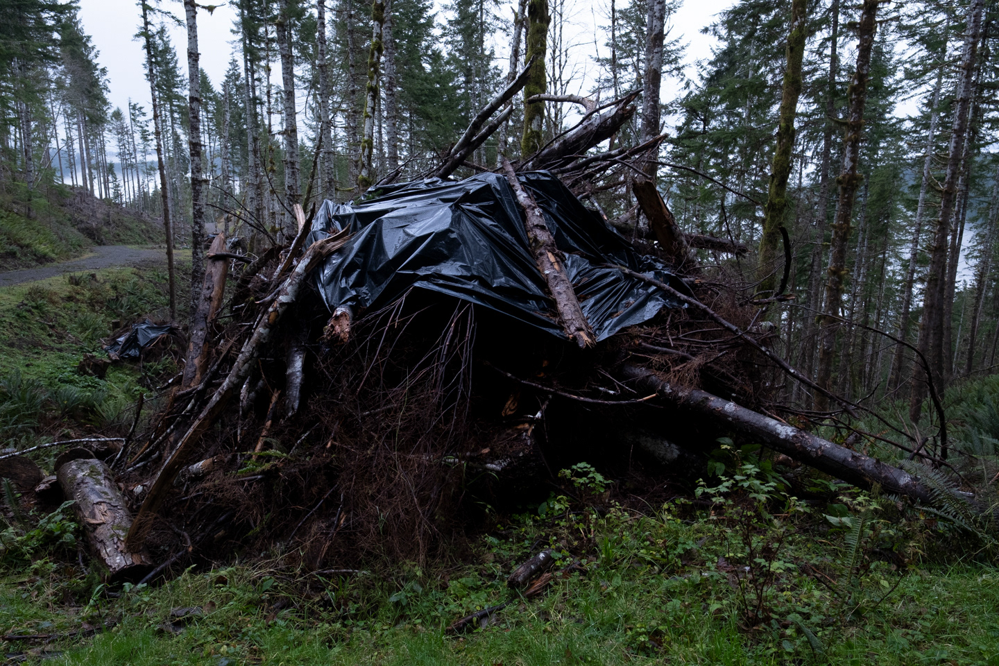
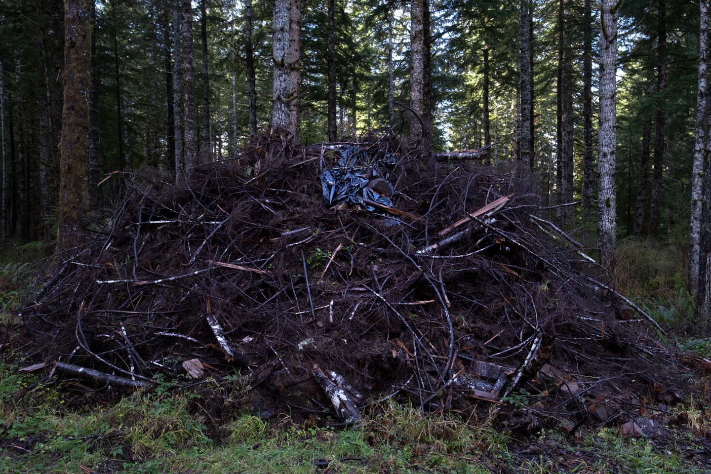
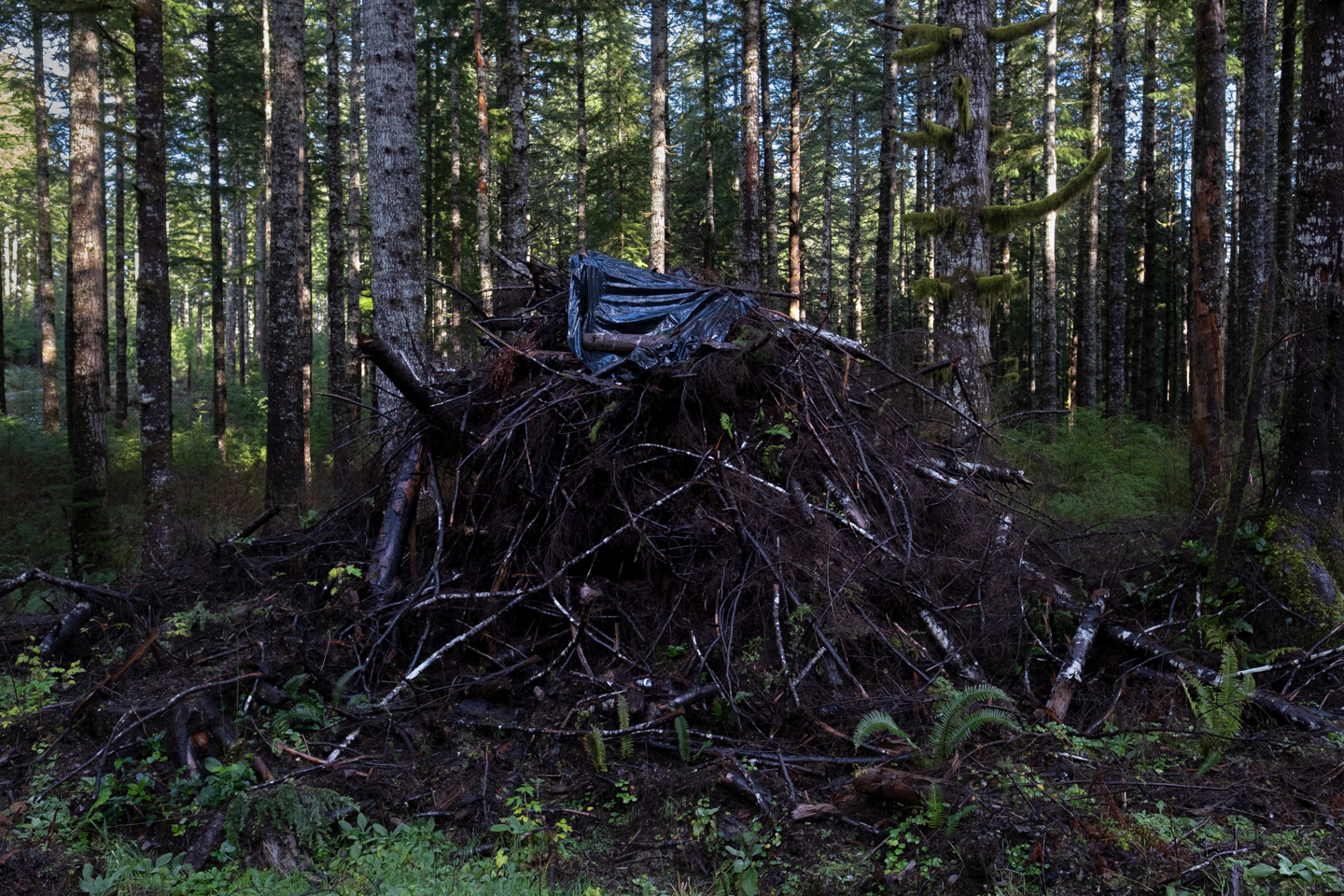
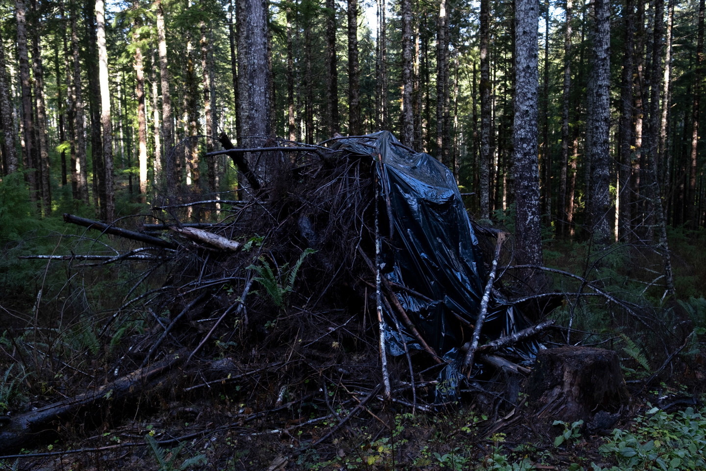
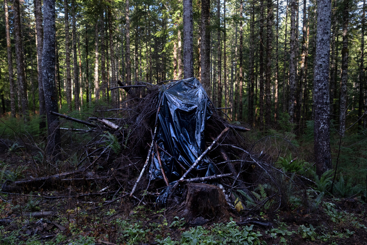
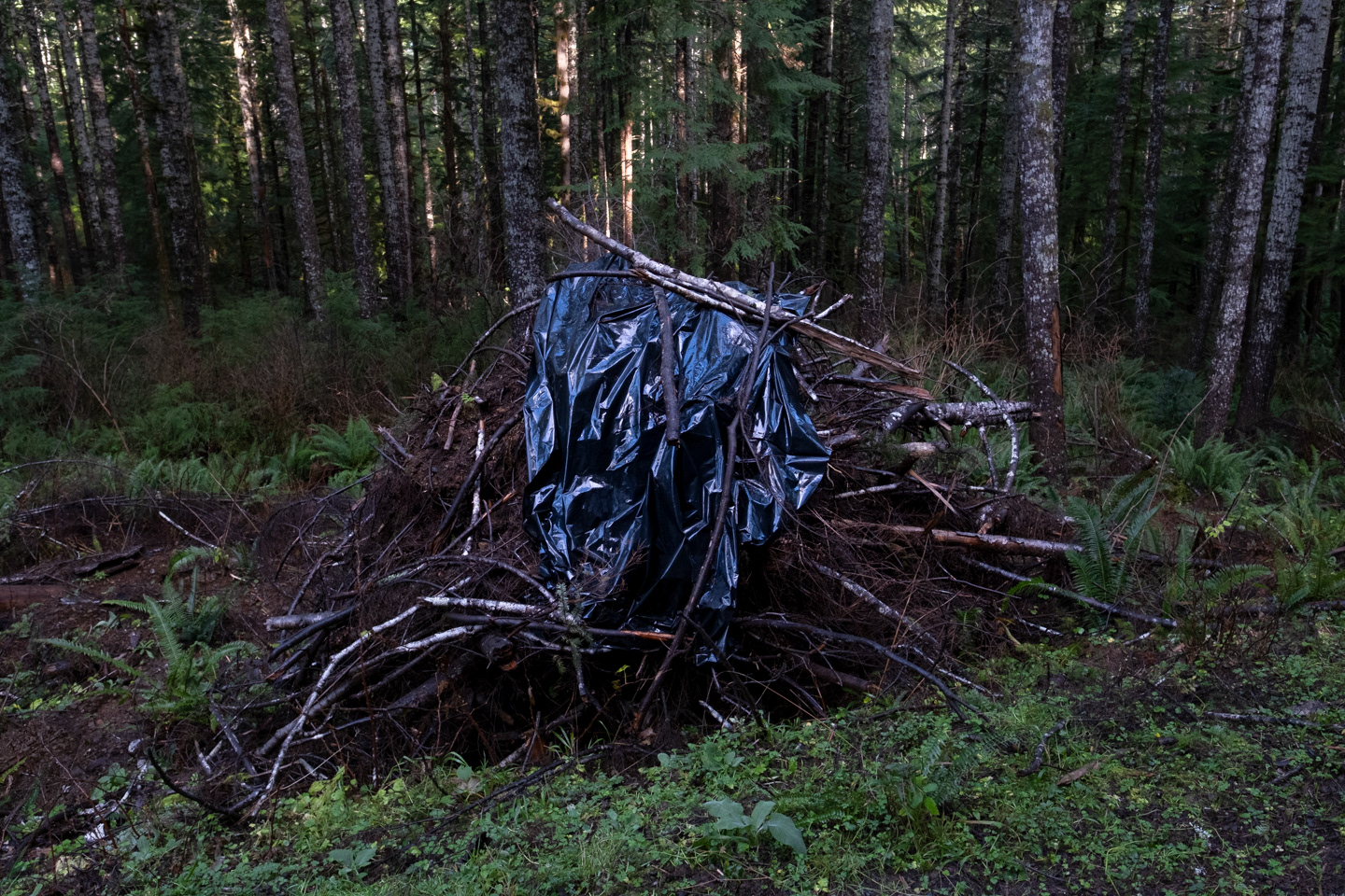
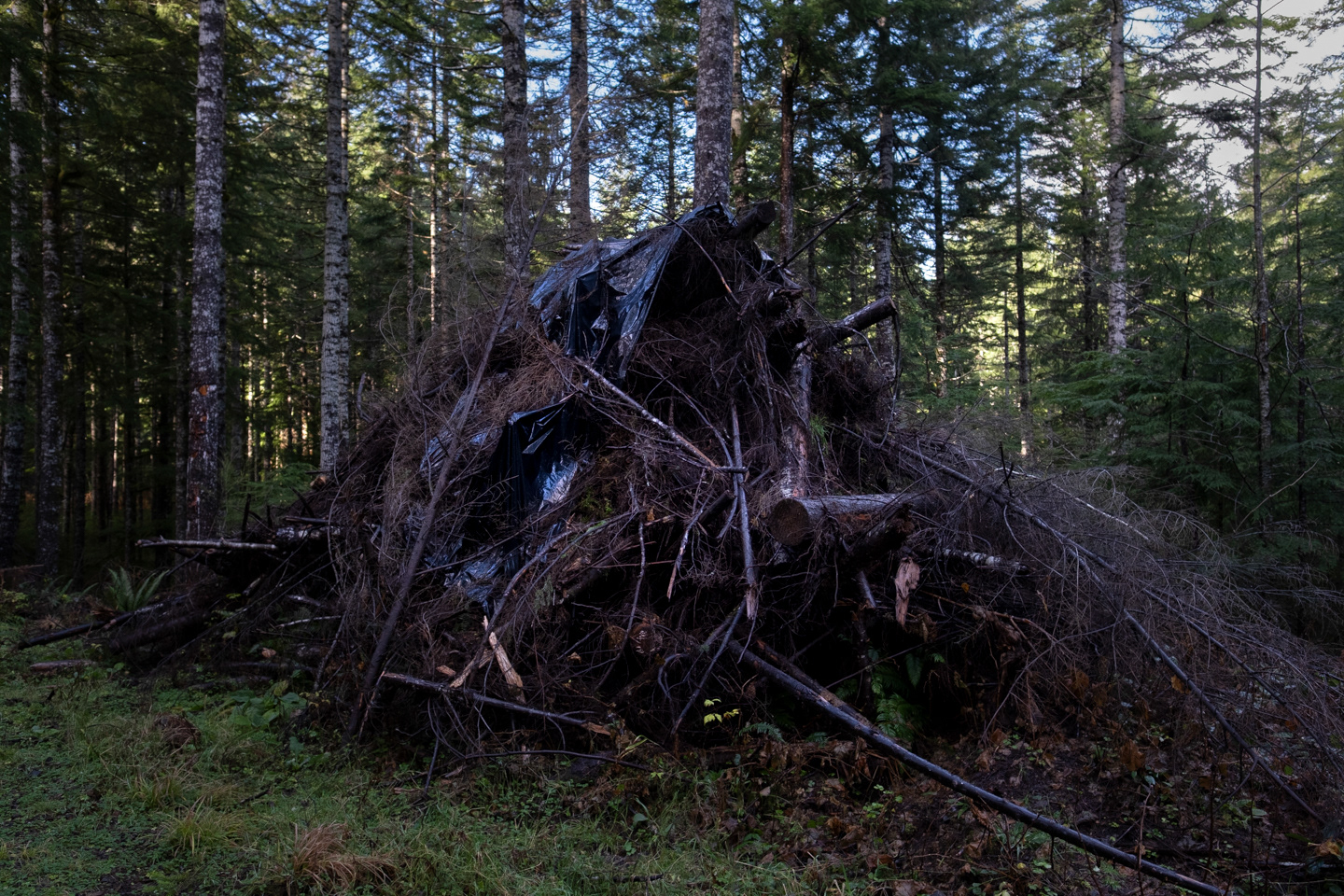
The forests of western Oregon reveal a fractured geometry, vast checkerboard grids of clear-cuts and regrowth carved into the landscape by a century of industrial logging. Originally sectioned off as Oregon & California Railroad lands, these alternating parcels were sold and harvested to fund expansion and maximize efficiency. The result is an inorganic landscape defined by sharp, human-made edges that disrupt the natural continuity of the forest. This project was inspired by “The Checkerboard Effect” by Emily K. Brock at Oregon State University, which explores how these historical land divisions continue to shape both ecosystems and economies. Drawing from that research, the work turns to satellite imagery to examine how economic systems have reshaped ecological space, leaving behind visible traces of policy, industry, and fragmentation. The regularity of these forms contrasts with the natural irregularity of tree growth, producing a jarring visual tension across the terrain. These aerial views make visible the legacy of extraction, a pattern that extends beyond the forest floor, affecting the habitats of species such as the Northern Spotted Owl that depend on mature Douglas-fir canopies for survival. What remains is a landscape of efficiency and absence, What remains is a landscape of efficiency and absence, where the logic of production continues to outweigh the needs of nature.